What are you meant to do if you want to go hiking around Adelaide and don’t have a car? Well, fortunately, there are some great hikes near Adelaide that are accessible by public transport. All of the hikes in this list are within an hour and a half of the CBD by bus or train (the start of the Heysen is a pinch further), most are much closer. And, best of all, they’re some of the best places to go hiking around Adelaide despite their accessibility.
Best Hikes Near Adelaide You Can Access By Public Transport
Morialta Conservation Park
I moved from Adelaide to Melbourne over two years ago. If there is one park I miss visiting the most, it’s Morialta Conservation Park.
There is a hike for everybody at Morialta. If you have the kid in the stroller, or you’re not particularly mobile, there’s the Morialta Falls Valley Walk at 1.6km long, taking you right to the base of the first falls via the valley floor. Wanting to do something more adventurous? The Three Falls Grand Hike is for you at 7.3km, and can be extended by adding on all manners of side trips.
In terms of accessing the park, you can hop on an H30/H30S in the city, which run fairly regularly, and it will take 30 minutes to get you to Stradbroke Road (get off at stop 27), right at the entrance of the park.
Also note, the Heysen and Yurrebilla pass through Morialta.
Cleland National Park
Cleland is one of the most popular parks in the Adelaide Hills. This is largely due to the Waterfall Gully to Mt Lofty Summit hike which is South Australia’s equivalent to Victoria’s popular 1000 Steps Walk. By that I mean it’s popular with the activewear brigade!
There is more to Cleland than the summit hike. I’m a fan of the Adventure Loop (10km) and Wine Shanty (10km) tracks as they offer much different perspectives of the park and are usually less crowded. The Long Ridge Lookout offers stunning views across Adelaide and Gulf St Vincent.
There are a few access points to Cleland National Park that are serviced by buses. The 142 will get you to Glynburn Road just near Waterfall Gully Road. From here it’s a 50 minute walk to the start of the Waterfall Gully to Mt Lofty Summit hike, or a little less if you’re wanting to climb up Chambers Gully. Alternatively, you can get a service directly to Mt Lofty Summit (864 and 823) which will take around 47 minutes. Finally, there is also a service up Greenhill Road on the northern boundary of the park that runs weekdays.
Like with all parks between Belair and Black Hill, the Yurrebilla and Heysen pass through Cleland and the aforementioned public transport services are a handy way to start or finish a section of these thru-hikes.
The new Steub Trail in the Cleland Conservation Park is a great option for the public transport user to access. It can be walked by itself as a gentle 7km return hike from Mount Lofty Summit, or added onto any number of other hikes in the pack.
Belair National Park
Belair National Park is the best connected park in the Adelaide Hills. Why? Well, it has a train service directly to its front gate–the gate is 56 metres from the platform, in fact!
It’s also one of my favourites due to its size and the variety of hikes and activities. Not in the mood for hiking? No worries. Bring your picnic basket and a bottle of wine and bask in the sun in the hectares of green space the park offers. Go for a tour of Old Government House. And, of course, choose from a plethora of hikes from 1-13km long!
There is also a golf course on the southern boundary, tennis courts and ovals, and a caravan park.
Belair also marks the start of the Yurrebilla Track. A hike that I have done a few times is follow the Yurrebilla through the park, exit the park on Sheoak Road, follow Pony Ridge Road and descend down to Brownhill Creek Recreation Park, and then finish the hike on Old Belair Road, or continue on up to Eagle on the Hill and exit via Waterfall Gully and Cleland National Park.
The train from the city to the Belair station takes around 49 minutes. Expect to see a lot of mountain bikers on board too, who enjoy the downhill tracks in Lynton Reserve.
Onkaparinga Gorge National Park
Onkaparinga Gorge National Park (Onk or Onka to the locals) holds a special place in my heart. It’s where I got into hiking when I was in my early teens. I use to push up the gorge from Old Noarlunga and hike and fish the deep pools for redfin below Piggott Range Road. Without those times up the Onk all those years ago this blog and the group and my love for hiking wouldn’t exist.
There is only one entry point to the gorge that is well-serviced by public transport and that’s Old Noarlunga. The easiest option is to get a train to Seaford Meadows and then walk the 20-25 minutes from the station to Old Noarlunga. (The village has a pub to stop at at the end of the hike and before your trip home.) Alternatively, you can get a 747 from Seaford station to Old Noarlunga, or a 745 from Colonnades. I recommend the walk from Seaford Meadows.
There are also hiking options below Old Noarlunga in the Onkaparinga River Recreation Park, which will take you all the way to the mouth of the Onka at Port Noarlunga. Check them both out.
Yurrebilla Track
The Yurrebilla is an adventurous 54km hike through the Adelaide Hills—starting in Belair National Park and ending at Black Hill Conservation Park. You can hike it as a 2-3 day hike, freedom camping in some of the conservation parks or checking into a nearby B&B each night, or in manageable sections. In hiking it in sections there are a few handy exit points along the way where you can get a bus back into town.
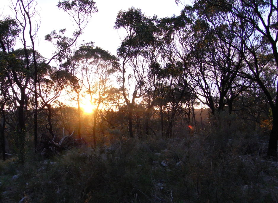
This was the view from my ‘freedom camping’ spot on the Yurrebilla.
Getting to the track is easy—the Belair Train Station is adjacent to the entry to the Belair National Park. At the end, it’s a 15 minute walk from the Main Ridge Track entry to the Black Hill Conservation Park down Gorge Road to the nearest bus stop. Exit points along the track, if you’re wanting to do it in sections, can be found at Brownhill Creek Conservation Park, Cleland Conservation Park (at Mt Lofty Summit and Greenhill Road), and Morialta Conservation Park.
Heysen Trail – Cape Jervis to Victor Harbor
If you’re looking for an interesting and varied multi-day hike that’s not too far from Adelaide and that can be accessed by public transport, the 74km section of the mighty Heysen Trail that runs from Cape Jervis to just west of Victor Harbor is a superb option. It was undulating bald hills, beautiful never-ending beaches, coastal scrub, waterfalls, kangaroos, snakes—the lot!
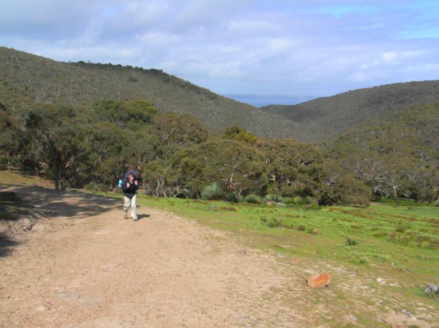
This is just about Eagle Waterhole Campground in Deep Creek Conservation Park. Stunning views out to Kangaroo Island.
It’s not technically public transport you’ll use to get to the track—private operator Sealink provides a daily coach service to Cape Jervis (where you would get the ferry across to Kangaroo Island to do the Kangaroo Island Wilderness Trail) and LinkSA provide numerous bus services back to Adelaide daily including weekends and public holidays.
As the coach to Cape Jervis operates late in the day, dropping you off at around 5:15pm, it might be an idea to camp the night at Cape Jervis Station, or get some accommodation in town, and then start bright and early the next day.
–
Upon reflection of this list I realise there are plenty of tracks and parks I have missed out. These, though, are my hike of the best and my favourites and are sure to keep you busy and the legs well stretched for a long time.


