
I was fortunate to be among the first cohort to complete the trail last week. What a wonderful public asset, and a pleasure to link up sections of Grampians National Park that I had seen in isolation. Here are some notes and observations that future backpackers might find useful.
Scroll to the bottom of this post for photos.
Contents
Transport to the Grampians Peaks Trail
There are plenty of transport options including car shuffle and a company in Halls Gap offering shuttle services. I opted for public transport. One option is V-Line coach to Horsham and taxi down to Mt Zero trail head. I had an extra day and hopped off of V-Line at Dadswell Bridge. There are several routes and camp options to make your way up to Mount Zero. At the southern terminus, V-Line services Dunkeld.
Halls Gap has a supermarket for some food staples. I also sent a resupply bag to Halls Gap post office. They said it helps when people write on the package what day they will pick it up.
The Route
The route crosses between ridges and valleys all the way, so there is a variety of terrain and views. Much of the route is at higher elevations with little access to creeks, especially south of Halls Gap. The walk required more concentration than I was expecting. Between some widely spaces trail markers, rough terrain and spectacular views (sometimes all at once) I lost the track a few times.
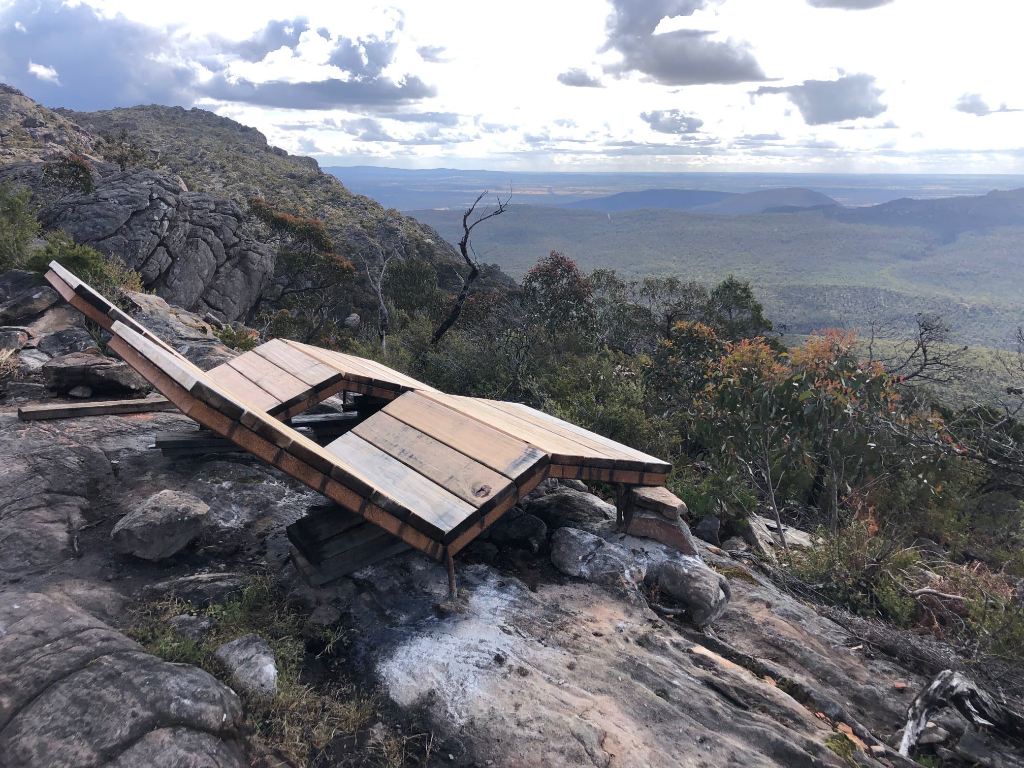
The Track
Based on the promotions, I was surprised at how hard some sections were. I often walk at about 4km/hour pace which includes a break each hour. On the northern sections, I was going about 3.5km/hour, including breaks. Some of the hardest sections between Barri Yalug and Yarram were down to 2-2.5km/hour. There is some very steep terrain and some very rough, unmade and rocky tracks. During one particularly rough section along the Mount Williams Range, I thought of various friends and who of them would enjoy that particular section. Few who describe themselves and “recreational backpackers” would, in my opinion. It’s definitely achievable, but be prepared. I saw a half dozen trail markers that had fallen off due to failed adhesive to mossy rock. One had spun around to point toward a cliff edge, so be careful, and keep your wits about you.
Camping Sites on the Grampians Peaks Trail
The camp amenities vary. Some camps have a fully enclosed 5m x 10m shelter. Some camps have an open-air picnic table with no roof cover. The tent platforms are either timber decking or compacted sand and granite. The timber platforms have eight adjustable chains for connections and no other fixing options. There is no perimeter cable, and the decking is spaced too closely to use platform anchors. The sand and granite is fairly loose for pegging into at the moment, but might harden up. I took nail type pegs and platform anchors. If I were to go again, I would just take Groundhog type “Y” stakes. Some of the camps are located to maximise dramatic views, but can be very exposed and windy. While tying town with extended cordage or rocks is possible, it can be nerve wracking on a windy night. Some of the camps have “Standard” and “Large” tent platforms. With the minimal chain fixings, I don’t know how I would securely fix and small tent to a large platform. Some people take cup hooks which might be useful. All camps (except Bugiga) have and bank of standard USB charging points. They are solar charged with a battery, so charging in the evening is possible. All camps have one or two toilets (which had TP, but BYO is advised.)
See below for a summary of camp amenities.
Water Availability on the Grampians Peaks Trail
There are some stand-alone tanks at road crossings. (From north to south: Copper Mine Track, Roses Gap Rd, Mount Difficult Rd, Redmans Rd, Mount William Rd, Jimmy Creek Rd, Yarram Gap Rd, Griffin Fireline, and two south of Mount Abrupt.)
Grampians Peaks Trail Itinerary